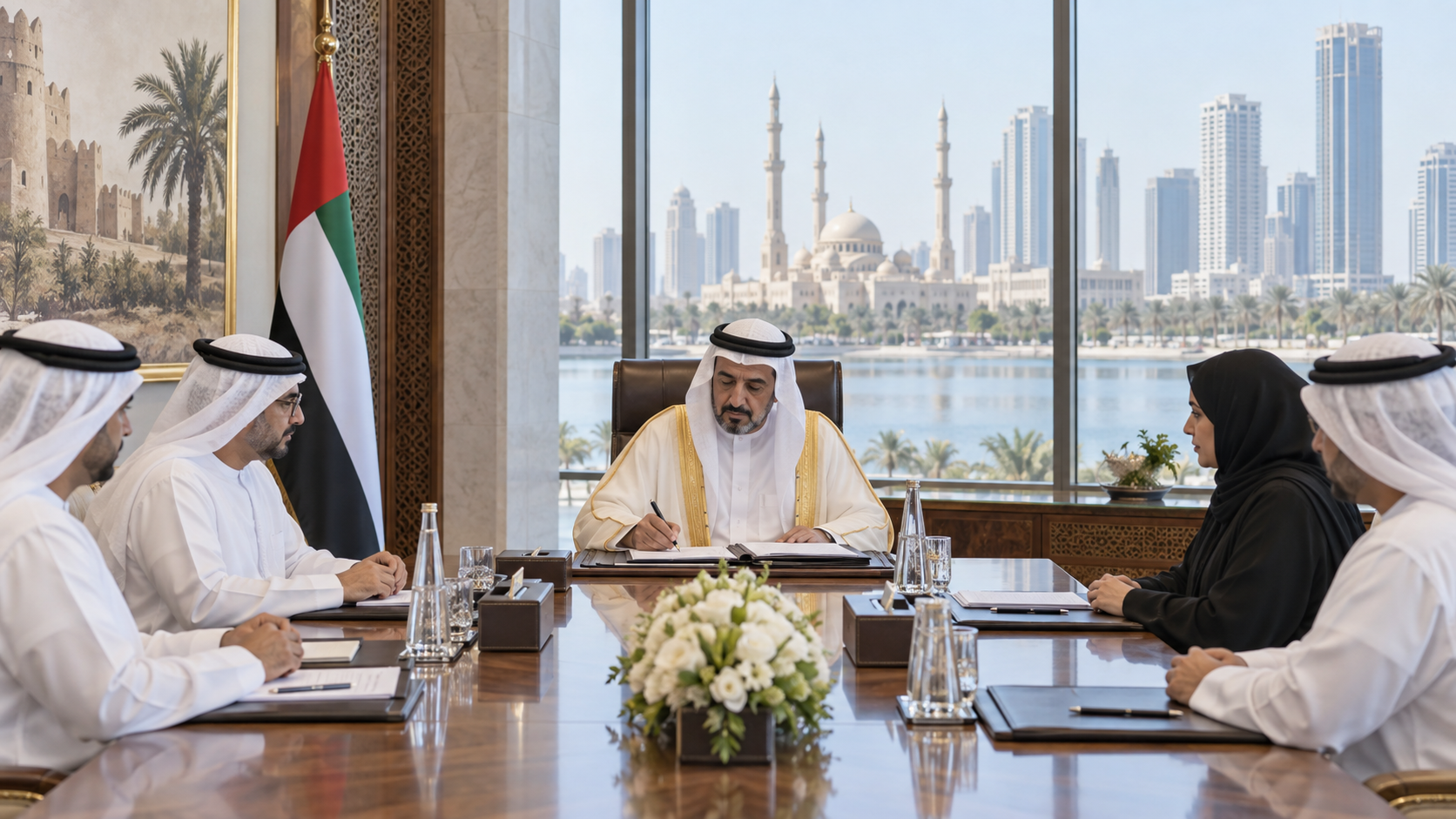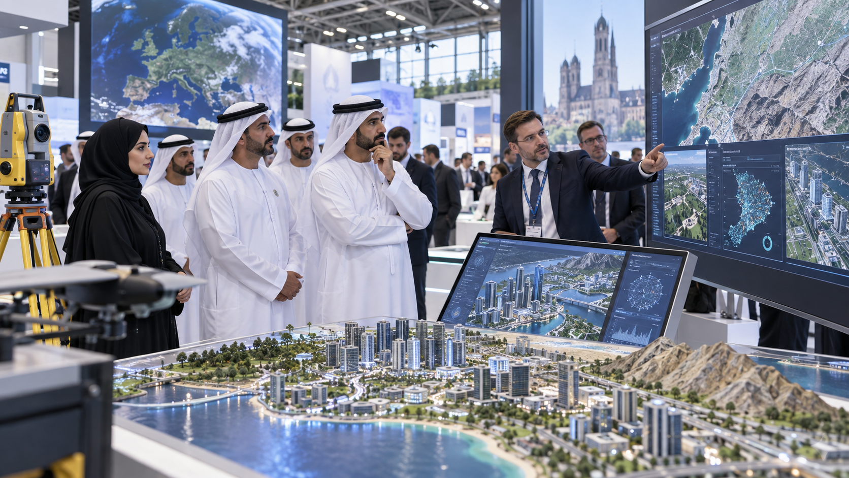
Fujairah Government officials have reviewed a range of geospatial technologies at INTERGEO 2026 in Munich as the emirate explores new tools for urban planning, infrastructure management and digital government.
Sheikh Mohammed bin Hamad bin Saif Al Sharqi, Director-General of Fujairah Digital Government, and Dr. Ahmed Hassan Almurshidi, Director of Fujairah Geographic Information System Centre, attended the three-day industry event.
According to WAM, the delegation examined geographic information systems, geospatial-data platforms, digital twins, 3D modelling, geospatial artificial intelligence and advanced surveying technologies.
The officials also reviewed applications connected to infrastructure management and smart-city development.
Fujairah is considering how these technologies could support strategic projects, improve integration between government datasets and strengthen data-driven decision-making.
Digital twins are increasingly used by cities and infrastructure operators to create virtual representations of physical assets or urban areas. Combined with geospatial data, they can help planners model development, monitor infrastructure and test scenarios before making changes in the physical environment.
Geospatial artificial intelligence can add another layer by helping analyse satellite imagery, mapping data and other location-based information at larger scale.
The Fujairah delegation also examined 3D modelling and advanced surveying tools that could support planning, construction, asset management and municipal services.
WAM said the visit forms part of the emirate’s wider digital-transformation efforts and its objective of developing smarter and more sustainable cities.
Participation in an international technology exhibition does not mean Fujairah has adopted every platform or system displayed at the event. The current stage is one of review, benchmarking and identifying technologies that could be relevant to government projects.
Any future procurement, pilot programme or formal deployment would therefore require separate confirmation.
The significance of the visit lies in the range of technologies being assessed and the direct connection between geospatial systems and government operations.
If adopted in targeted projects, the tools could influence how Fujairah plans urban growth, integrates data across agencies and manages infrastructure over time.